La Sal Mountain Loop Scenic Drive Self-Guided Audio Tour
Active
2h - 3h
For a full refund, cancel at least 24 hours before the scheduled departure time.
Instant confirmation
Mobile or paper ticket accepted
About this experience
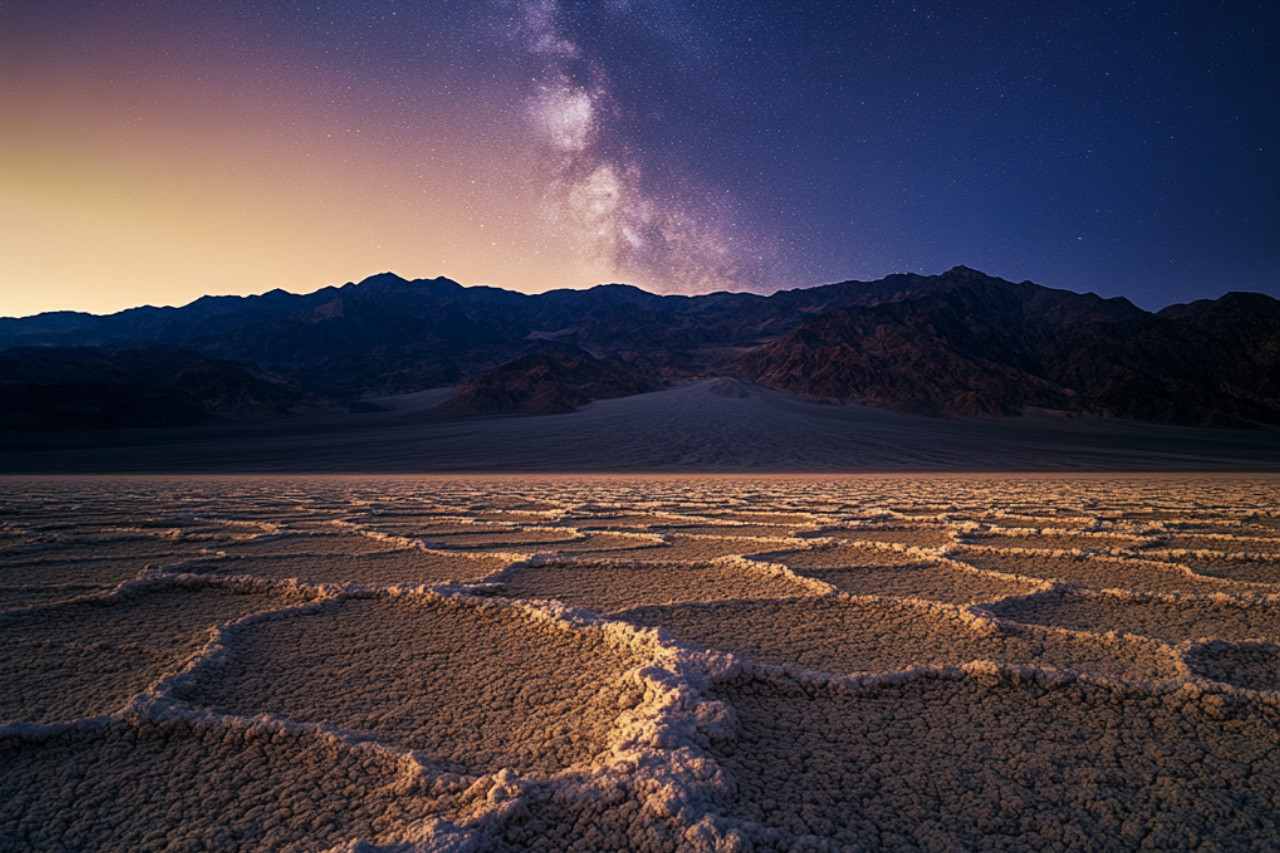
Embark on a self-guided driving tour through the mesmerizing landscape of the La Sal Mountains. Cruise alongside the Colorado River and admire towering formations of ancient red stone. Stand atop soaring overlooks. And walk alongside real life dinosaur tracks dating back millions of years! As you drive, you’ll have opportunities to stop at hiking trails, Wild West filming locations, and much more. Plus, you’ll get to know the fascinating history of this unique land.
After booking, check your email/text to download the separate Audio Tour Guide App by Action while connected to WiFi or mobile data. Enter the password, download the tour, and enjoy it offline. Follow the audio instructions and route from the designated starting point.
Buy once, use for one year! Ideal for extended visits and return trips over the next 12 months.
This isn't an entrance ticket. Check opening hours before your visit.
Available options
La Sal Mountain Loop Scenic Drive Self-Guided Audio Tour
What's included
Easy-to-use app: download Action’s Tour Guide App onto your phone
Great value: purchase per car, not per person. More affordable than bus or guided tours!
Engaging storytelling: Uncover unique tales and thrilling history for a memorable journey!
Perfect narrator: nothing can beat listening to a great voice. Proven with tons of rave reviews!
Offline maps: no signal, no problem! Works perfectly without cellular or wifi.
Comprehensive route and stops: See it all, miss nothing, leave no stone unturned!
Go at your own pace: Start anytime, pause anywhere, enjoy breaks for snacks and photos freely!
Hands-free: audio stories play on their own based on your location. Easy to use!
Detailed itinerary
1
Stop 1
I mentioned that the red stone making up the walls of most of these formations is called Wingate Sandstone. But did you know that this kind of rock used to be sand?
Here’s what happened: 200 million years ago, winds from the northwest carried tons of fine-grained sand here. The sand spread out, forming dunes and sinking into the shallow sea. The wind constantly reshaped the sand, and eventually began piling other sediments on top of it. Water also carried these rocks and minerals and deposited them atop the sand.
Note: The tour is over 61 miles long, with more than 45+ audio stories, and takes about 2-3 hours to complete.
Buy once, use for one year! Ideal for extended visits and return trips over the next 12 months.
2
Coming up soon is Take Out Beach. As we approach, you might notice a few paddle rafts, tubes, and kayaks floating down the river. That’s because this stretch of the Colorado River is the most floated in Utah! If you’ve brought along a boat or flotation device, this is a great place to take it out for a spin.
3
Coming up ahead is the Grandstaff Canyon Trail. This moderate hike stretches about 5 miles and takes almost an hour to complete. If you have the time to do it, you’ll be richly rewarded — it ends at an impressive natural bridge over 200 feet long.
4
We’re coming up on an optional detour to Hauer Ranch. It takes about 15 minutes to reach the ranch, and once you’re there you’ll have the opportunity to see some famous filming sites and even saddle up a horse!
5
If you look to our left, you’ll see a massive sandstone mesa – it’s a little hard to miss. That’s Parriott Mesa, which stretches out more than a mile. While it is a long mesa, it’s also quite narrow. At its narrowest point, it stretches only 350 feet. In geologic terms, that actually makes it much closer to a butte than a mesa.
6
That burst of green up ahead tells us we’re approaching Castle Valley. It gets its lush greenery from water flowing down from the surrounding rocks, but the origin of this valley is actually salt!
7
To our left is a summit with what looks like a giant thumb sticking out the top. Do you see it? That’s Castleton Tower, the first major tower climbed by Americans in the area.
8
See the squat gray mountain coming up ahead on our right? That’s Round Mountain. I know, pretty creative name, right? Are you wondering why it’s not red like the surrounding rock formations? That would be because… it’s made of LAVA! The story began 24 million years ago. Remember, that’s around the time magma was struggling to bubble up out of the earth and creating all those laccolithic mountains. The magma did escape in a few places, like right here at Round Mountain. Except it didn’t get very far.
9
We’re approaching La Sal Lookout Point, offering a tremendous view of the mesas and buttes alongside the Colorado River. From the viewpoint, we’ll be able to see certain rock formations more clearly than we could from the road. One to keep an eye out for is the Courthouse Towers, two towering stone columns. They’re not actually named after a courthouse but after skyscrapers in New York City.
10
We’re approaching an optional detour to Warner Lake, a secluded little lake just five miles out of our way. If you’re up for a quick swim or some fishing, this is a great detour that’s only a 20 minute drive from here.
11
Coming up is a detour for Oowah Lake, which is just a 15 minute drive from here. If you love a good hike that offers a spectacular payoff, lace up your boots because the Oowah Lake to Clarks Lake Trail is serving up scenic vistas of the Canyonlands region below. Like Warner Lake, this lake is also stocked with rainbow trout, so there’s terrific fishing here too.
12
Coming up in a moment is the turn for Ken’s Lake and Faux Falls. But hold on, what is a faux waterfall? Can a waterfall even be fake? In actuality, Faux Falls is real; it’s just made by humans who have diverted water from the nearby lake. But it’s still definitely worth seeing! There’s also a swimming hole at the base of the waterfall, though it’s only three feet deep, so it’s a bit more like a wading pool.
13
To our left stand a trio of mountains. The leftmost is Mount Mellenthin at 12,645 feet. In the center stands Mount Peale, the highest peak at 12,726 feet. And to the right is Mount Tukuhnikivatz, at 12,482 feet. These make up the tallest peaks of the La Sal Mountains. And while we’re just admiring the mountain, there are some adventurers who’ve skied it! But how on Earth do they get there?
What's not included
Attraction passes, entry tickets, or reservations
Available languages
Audio guide
EN
Written guide
EN
Reviews breakdown
Tripadvisor
5.0
1 reviews
5★
1
4★
0
3★
0
2★
0
1★
0
Important information
Public transportation options are available nearby
Suitable for all physical fitness levels
How To Access: After booking, you’ll get an email and text with setup instructions and password (search “audio tour” in emails and texts). • Download the separate tour app by Action • Enter the password sent by email and text. • MUST download the tour while in strong wifi/cellular. • Works offline after download.
How to start touring: Open Action’s separate audio tour guide app once onsite. • If there is just one tour, launch it. • If multiple tour versions exist, launch the one with your planned starting point and direction.
Go to the starting point No one will meet you at the start. This tour is self-guided Enter the first story’s point and the audio will begin automatically Follow the audio cues to the next story, which will also play automatically. Enjoy hands-free exploring. If you face audio issues, contact support. Stick to the tour route & speed limit for the best experience.
Travel worry-free: Use the tour app anytime, on any day, and over multiple days. Start and pause the tour whenever you like, taking breaks and exploring side excursions at your own pace. Skip anything you don’t care about or explore bonus content for everything that interests you
Savings tips: Driving tours: purchase just one tour for everyone in the car
Buy once, use for one year! Ideal for extended visits and return trips over the next 12 months.
Audio Setup: Connect your phone to your car's stereo system using Bluetooth, USB, or AUX. For the best experience, consider using headphones for walking tours. Audio playback is compatible with Apple CarPlay, with navigation features coming soon. Support for Android Auto is also on the way.
For the best experience, please use an iPhone running iOS 15 or later, an Android device running version 9 or later, or an iPad/tablet with GPS and cellular connectivity, as these are recommended for navigation.
Meeting point
Begin from Lions Park and Bike Path Trailhead, UT-128, Moab, UT. After booking the tour, search your emails and texts for "audio tour". Your tour is VALID FOR ONE YEAR so follow these instructions NOW to finish setting up the tour while you have Wi-Fi/data. Do NOT wait until you are onsite.
Important notes
1. Find The Setup Instructions NOW:
• Download the App: actiontourguide.com/app
• Find Your Password: Search your email or text messages for "Action Tour Guide"
• Enter Password: Open the app and enter your 8-digit password
• Download the Tour NOW while you have WiFi or cell service
• Offline Ready: Once downloaded, the tour works without internet
• Need Help? Visit: actiontourguide.com/redeem
2. Download The Tour NOW:
• Download NOW over WiFi or cellular data ahead of your trip.
• Don't wait until travel day - your tour is VALID FOR ONE YEAR from purchase.
• Your password redemption is limited to the number of travelers booked. Please enter the same password on each device.
3. Audio Tour Tips:
• This is a self-guided audio tour - no one will meet you at the starting point.
• Entrance and attraction tickets are not included. Please book those separately.
• Curious how it works? Watch a quick video here: actiontourguide.com/tutorial
• For the best audio experience, connect to the car stereo via Bluetooth, USB, or AUX, or listen through your phone's speaker.
• CarPlay and Android Auto aren't supported yet.
• Valid for 12 months - listen to your tour on any day without changing your travel date or rebooking!
4. Help & Support:
• Visit our FAQs: actiontourguide.com/faq
• Chat online: actiontourguide.com
• Call: 1-435-288-0560
• Email: support@actiontourguide.com
About Moab
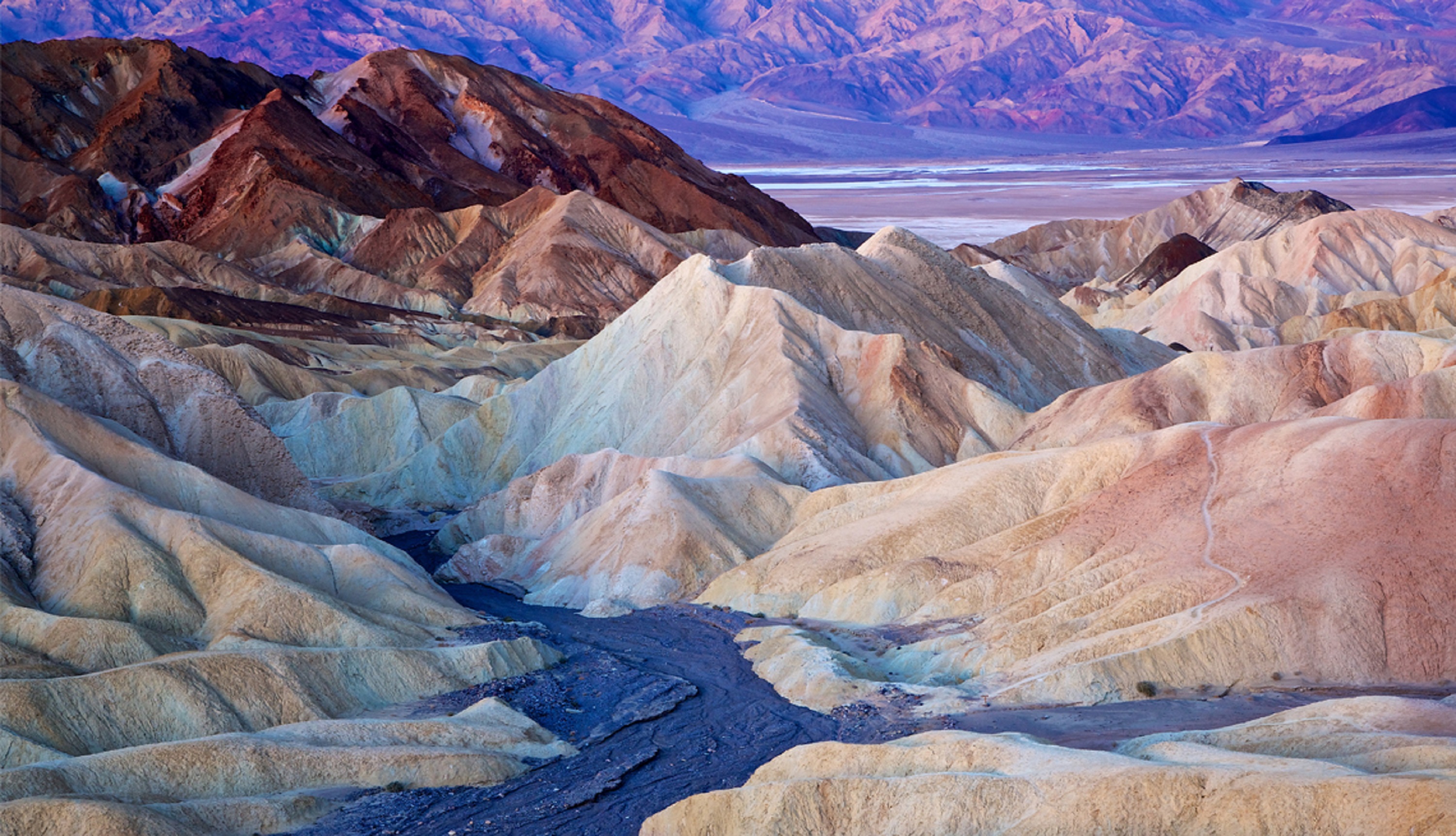
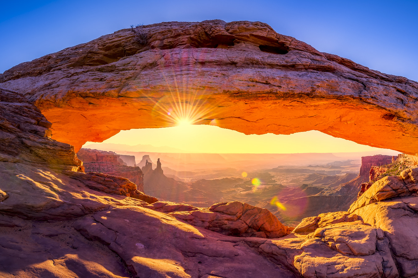
Moab, Utah, is renowned for its stunning red rock formations and outdoor adventures. Nestled near the borders of both Arches and Canyonlands National Parks, it offers a unique blend of natural beauty and thrilling activities, making it a paradise for nature lovers and adrenaline seekers alike.
Top Attractions
Arches National Park
Arches National Park is famous for its over 2,000 natural sandstone arches, including the iconic Delicate Arch. The park offers stunning landscapes, hiking trails, and scenic drives.
Nature
Full day
Moderate (Entrance fee applies)
Canyonlands National Park
Canyonlands National Park is divided into four districts, each offering unique landscapes and outdoor activities. The park is known for its rugged canyons, mesas, and buttes.
Nature
Full day
Moderate (Entrance fee applies)
Dead Horse Point State Park
Dead Horse Point State Park offers breathtaking views of the Colorado River and the surrounding canyons. The park is known for its stunning overlooks and hiking trails.
Nature
Half day
Moderate (Entrance fee applies)
Mill Canyon Dinosaur Tracksite
Mill Canyon Dinosaur Tracksite is a unique attraction featuring well-preserved dinosaur tracks from the Jurassic period. The site offers a glimpse into the prehistoric past.
Historical
1-2 hours
Free
Moab Giants Adventure Park
Moab Giants Adventure Park is a family-friendly attraction featuring a dinosaur garden, zip lines, and a ropes course. The park offers a fun and educational experience for all ages.
Adventure
Half day
Moderate (Entrance fee applies)
Must-Try Local Dishes
Green Chile Stew
A hearty stew made with pork, green chiles, potatoes, and spices. It's a staple of Southwestern cuisine and a must-try in Moab.
Dinner
Contains pork and dairy
Navajo Tacos
Fried bread topped with beans, meat, cheese, and vegetables. A unique and delicious dish that's a favorite in the region.
Lunch/Dinner
Can be made vegetarian or vegan
Cowboy Coffee
Strong, black coffee brewed over a campfire. A classic drink for outdoor enthusiasts and a popular choice in Moab.
Drink
Caffeinated
Popular Activities
Hiking
Mountain biking
Rock climbing
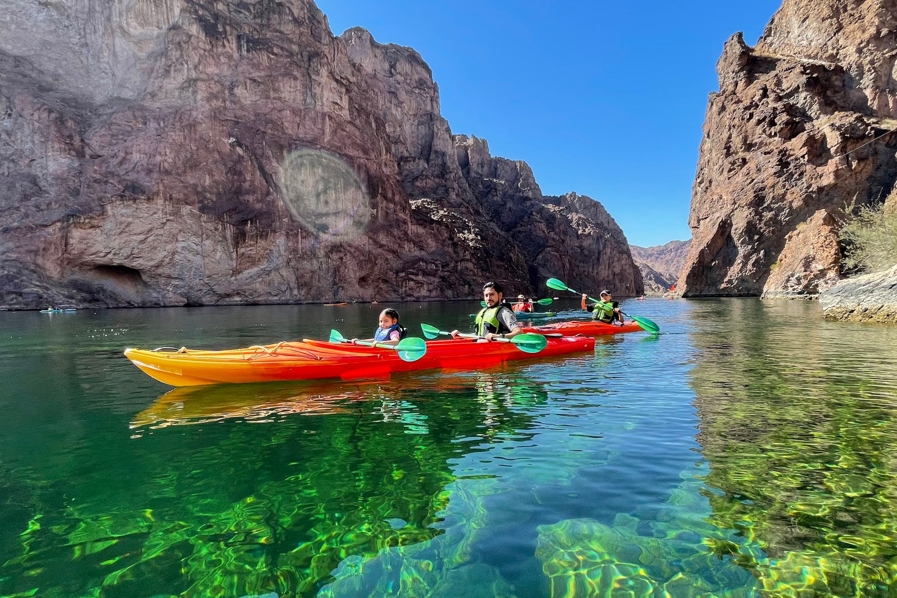
Rafting
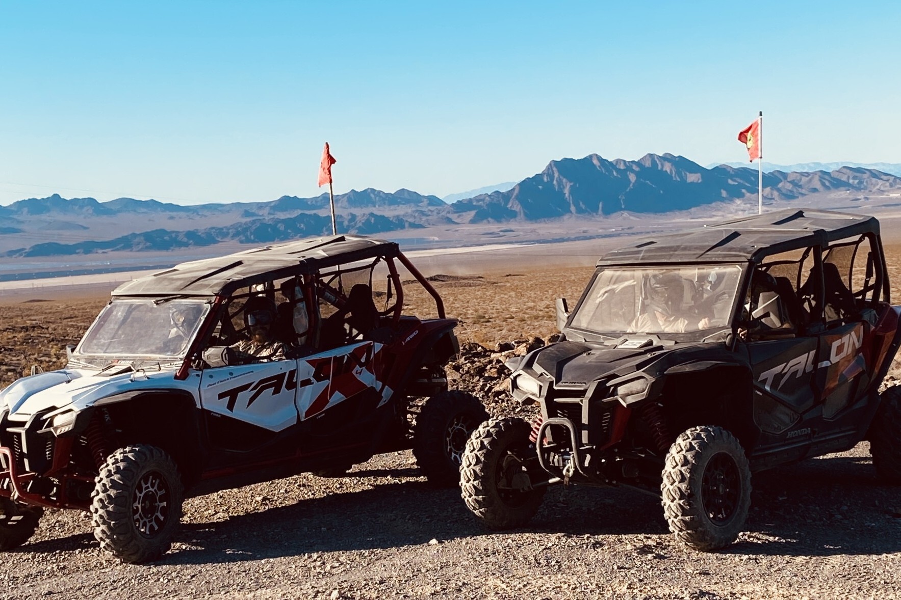
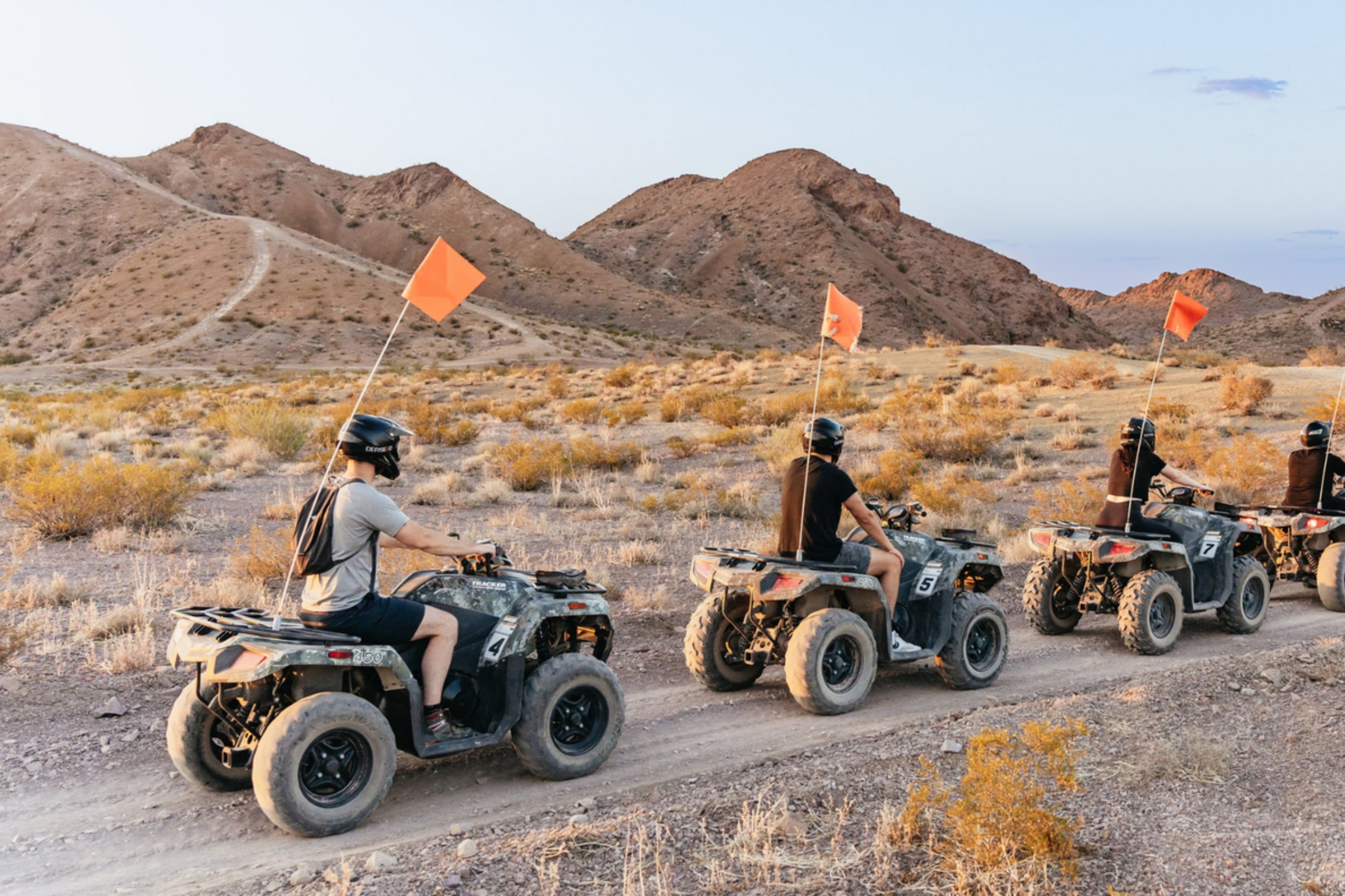
ATV tours
Scenic drives
Picnicking
Wildlife viewing
Best Time to Visit
April to May, September to October
The best times to visit Moab are during the spring and fall when the weather is mild, and the crowds are smaller. These seasons offer comfortable temperatures and fewer tourists, making it ideal for outdoor activities.
10°C to 25°C
50°F to 77°F
Practical Information
Language
- Official: English
- Widely spoken: Spanish
- English: Widely spoken
Currency
US Dollar (USD)
Time Zone
Mountain Time Zone (MT) (GMT-7)
Electricity
120VV, 60HzHz
Safety Information
Overall Safety Rating: Generally safe
Moab is generally a safe destination, but visitors should be aware of potential hazards such as extreme weather, wildlife, and rugged terrain.
Important Precautions:
- • Be aware of extreme weather conditions
- • Carry plenty of water and sun protection
- • Be cautious when hiking or exploring rugged terrain
Getting there
By air
- Grand Junction Regional Airport • 100 miles (160 km)
- Canyonlands Field • 10 miles (16 km)
By bus
Moab Transit Center
Getting around
Public transport
Moab Transit offers bus services within the town and to nearby attractions. The service is limited but convenient for those without a car.
Taxis
Available • Apps: Uber, Lyft
Rentals
Car, Bike
Neighborhoods
Downtown Moab
South Moab
North Moab
Day trips
Canyonlands National Park
30 miles (48 km) • Full day
Canyonlands National Park offers stunning landscapes, hiking trails, and scenic drives. The park is divided into four districts, each with its own unique features.
Dead Horse Point State Park
32 miles (51 km) • Half day
Dead Horse Point State Park offers breathtaking views of the Colorado River and the surrounding canyons. The park is known for its stunning overlooks and hiking trails.
Bryce Canyon National Park
250 miles (400 km) • Overnight
Bryce Canyon National Park is known for its unique hoodoos, or rock spires, and offers stunning landscapes, hiking trails, and scenic drives.
Festivals
Moab Music Festival • September
Moab Folk Festival • October
Pro tips
- Visit Arches National Park early in the morning or late in the afternoon to avoid crowds and heat.
- Bring plenty of water and sun protection for outdoor activities.
- Explore the less-known trails and attractions for a unique experience.
- Check road conditions before visiting Canyonlands National Park, as some roads may be unpaved or closed.
- Consider hiring a local guide for a more in-depth and personalized experience.
From $25
per person
Price varies by option
Secure booking
Free cancellation available
Instant confirmation