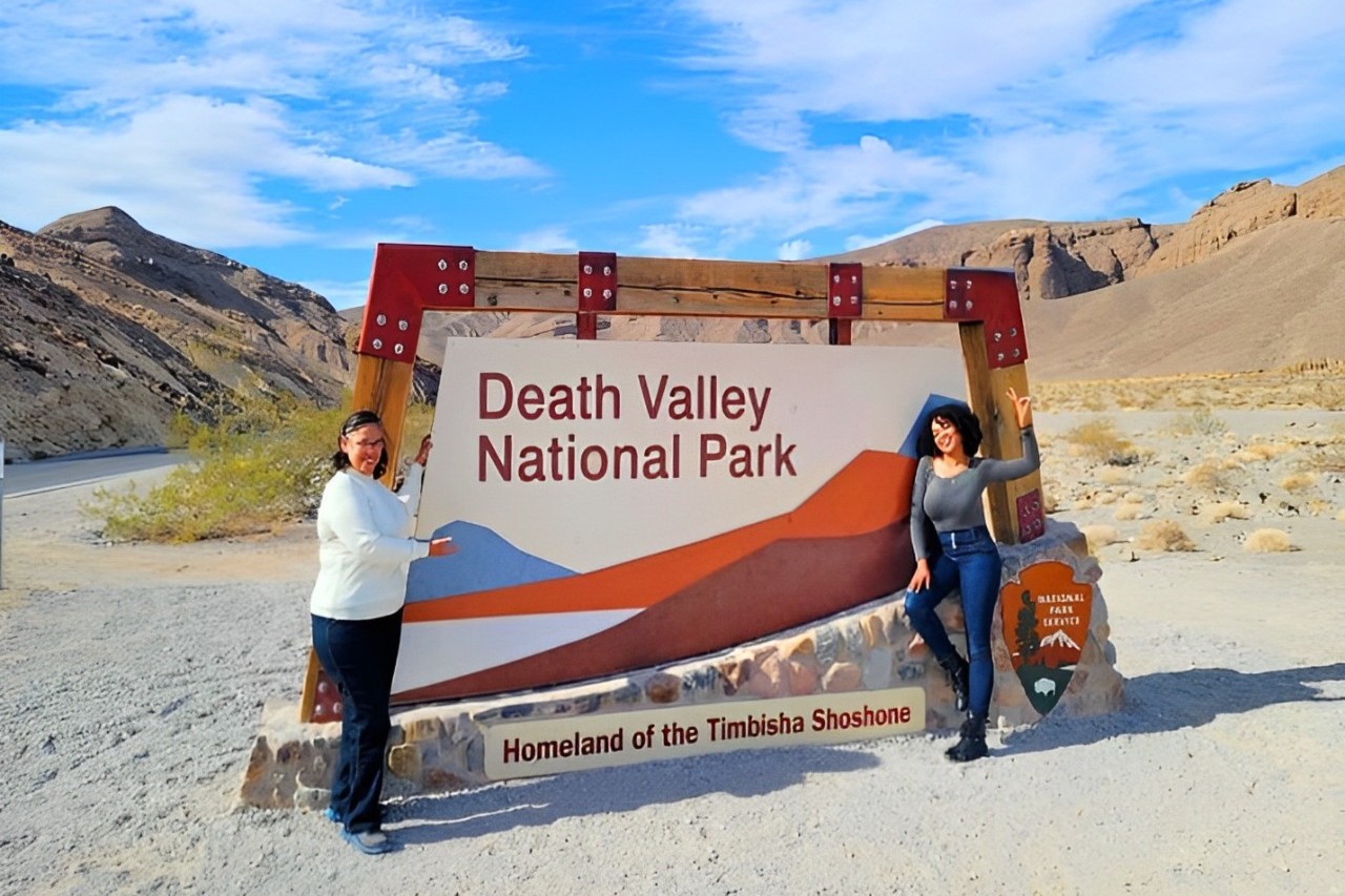
Death Valley National Park Self-Guided Audio Tour
Active
6h - 8h
For a full refund, cancel at least 24 hours before the scheduled departure time.
Instant confirmation
Mobile or paper ticket accepted
About this experience
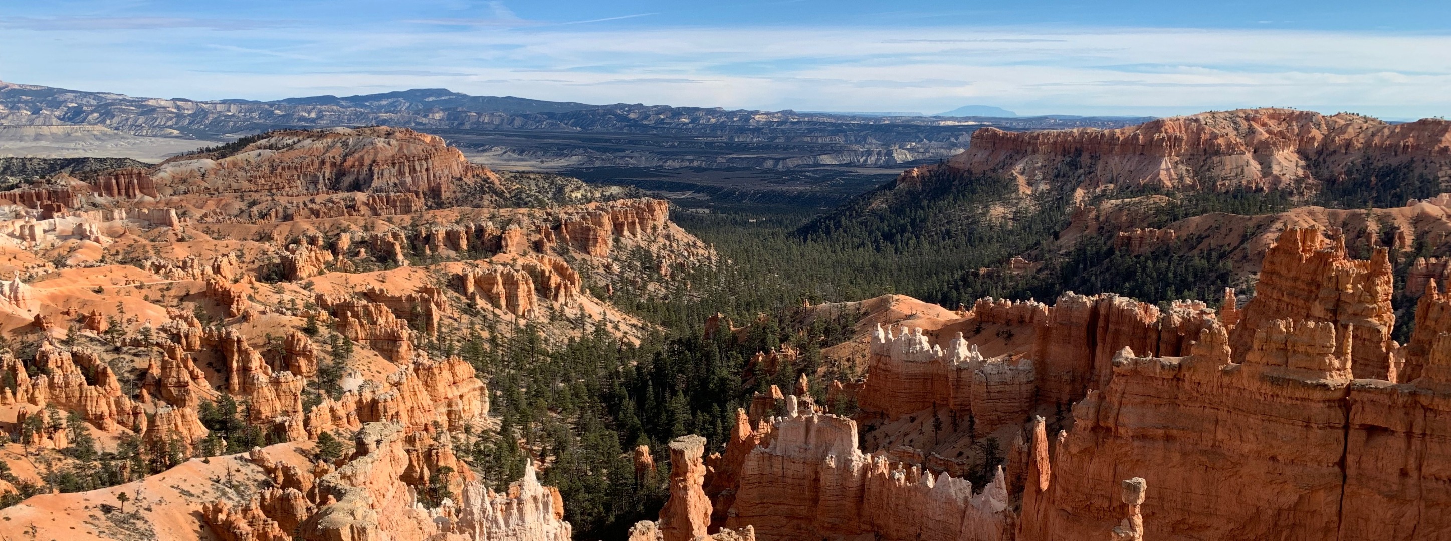
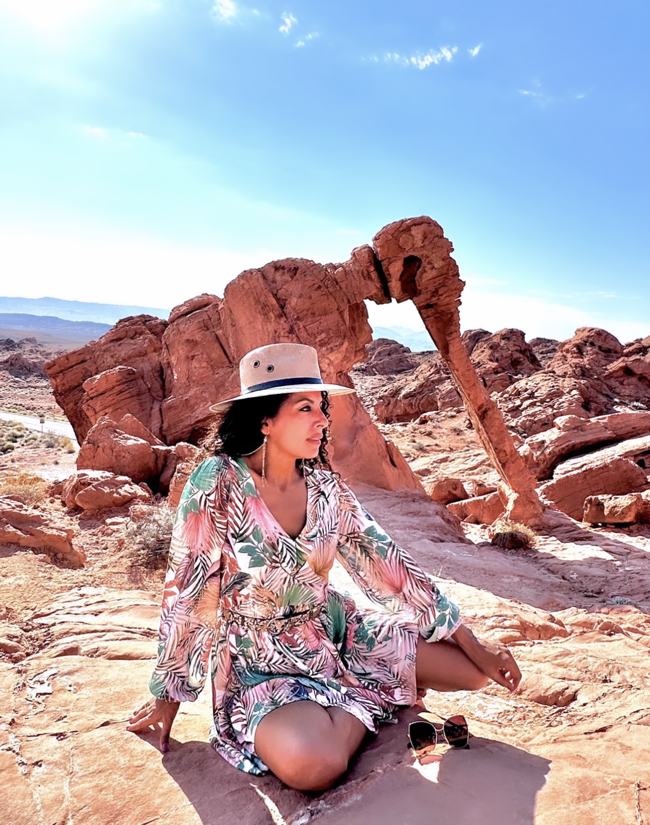
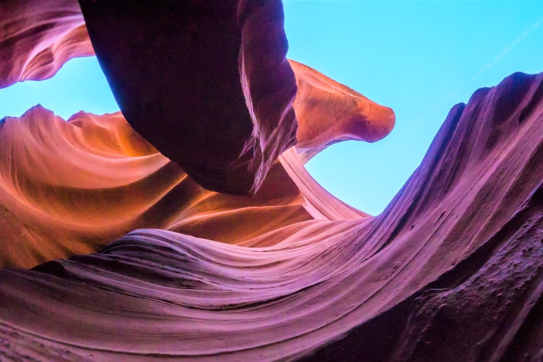
Death Valley is one of America’s most evocative national parks, with desolate desert landscapes, dramatic mountain ranges, and of course, the lowest point in North America. Let Shaka Guide lead the way!
We take you to many of the park’s most fascinating and awe-inspiring places.
Plus, we’ll discover some surprising references to popular culture. You don’t know what you don’t know about Death Valley!
Here are just a few of the fun things you can do on the Death Valley National Park Tour!
• Take in views of Badwater Basin at Dante’s View
• Walk along of field of sand dunes at Mesquite Flat Sand Dunes
• Watch the sunrise, or set, at Zabriskie Point
All Shaka Guide tours come with customer support and a 100% satisfaction guarantee. Tours never expire.
*Download the Shaka Guide app to access your purchased tours.*
Available options
Death Valley National Park Self-Guided Audio Tour
What's included
Tours NEVER expire
Offline Audio Guided Tour: Hours of audio narration with stories, travel tips and music
Offline map (map and GPS work completely offline - no wifi or data needed)
Take the tour when you want - download the tour and choose the day that works best for you
Tour highlights with activity and restaurant recommendations
Turn-by-turn directions using GPS
Freedom to explore at your own pace - pick the stops you want, skip the ones you don’t
Audio narration that plays automatically as you drive
Detailed itinerary
1
Stop 1
This is the first stop on Emigrant Canyon Rd, the optional detour toward the Wildrose Charcoal Kilns. There’s not much left of this former processing plant from the early 20th century, but the foundations, empty tanks, and other relics may interest photographers and history buffs.
2
Stop 2
The second stop on Emigrant Canyon Rd, this former campground for the Civilian Conservation Corps is a good place to stretch your legs as you make the long drive toward the charcoal kilns. Walk through the remaining campground buildings, located right off the road.
3
Ten unusual, beehive-shaped charcoal kilns are lined up in a row thousands of feet up in the Panamint Range. Step inside one and you may still get a whiff of that charcoal!
4
If you plan to eat a meal or buy gasoline within the park, we recommend doing it in Stovepipe Wells, a wayside with visitor services and accommodation.
5
Stop 5
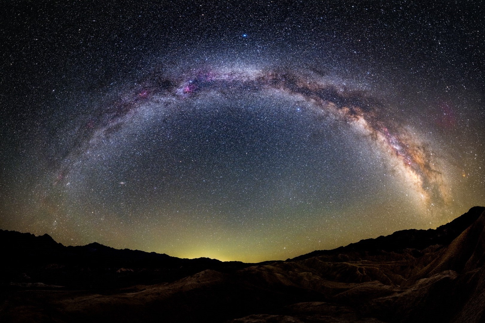
The only sand dunes you’ll see on the tour! You can view the dunes from the parking lot, but it’s more fun to explore the dunes on foot and wander among the mesquite trees for some social media-worthy pictures. This is a top pick for sunsets and stargazing, too.
6
Stop 6
There’s a peculiar patch of Arrowweed near the Mesquite Flat Sand Dunes that appears like bunches of corn in a field. There’s not much to look at, but a small parking area allows visitors to safely park and get a closer look.
7
A 0.5-mile boardwalk runs along the Salt Creek wetland, a critical watering hole for critters and home to the endangered Salt Creek Pupfish. The easy trail is down a dirt road.
8
Explore what's left of the earliest mining operation in Death Valley. Placards throughout the short path interpret the various buildings and mechanisms required to process borax. You'll also see one of the wagons pulled by the famed 20-mule teams.
9
Stop 9
Though there’s no actual stop, you can take a detour into a small canyon with an unusual yellow tinge. Before driving this road, check with the park for the road's current conditions. In normal circumstances, this dirt road is reasonably well-maintained but still bumpy, and not advisable for vehicles with low clearance.
10. Furnace Creek Visitor Center
10
A must-stop for information, flush toilets, a water refill station, and a museum with excellent displays on the natural and human history of Death Valley.
11
Stop 11
Furnace Creek is the only place to eat a meal and get gas within the park. Prices are higher here, but you’ll find an ice cream parlor, buffet-style restaurant, and Wild West-themed saloon. There’s also an excellent General Store with souvenirs and a small grocery section. And if you want to know more about the area’s mining history, you can visit the Borax Museum.
12
Stop 12
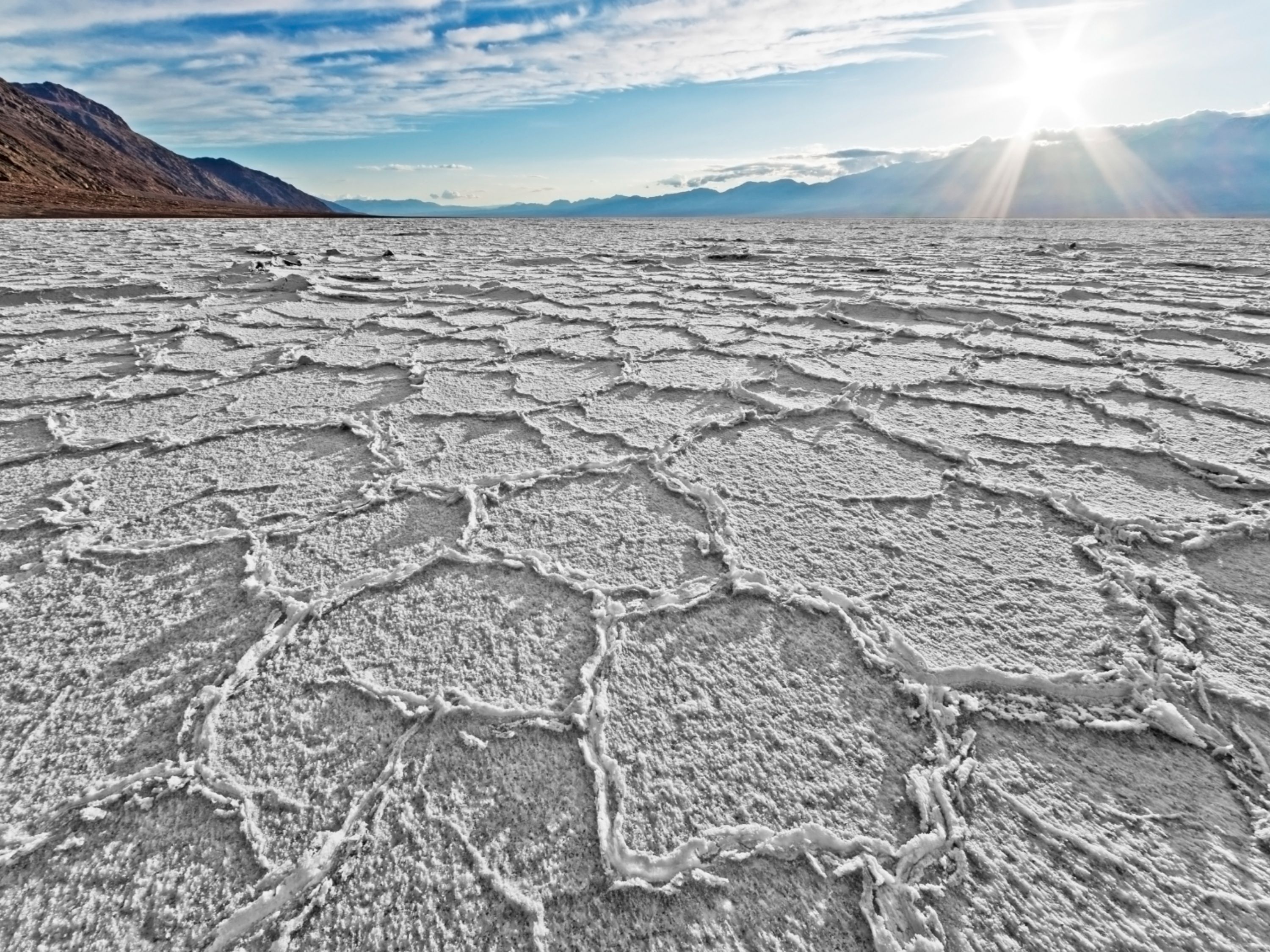
Enjoy the otherworldly shapes of Death Valley’s salt flat, down a short dirt road from Badwater Road. There’s no trail, and you’ll want to make sure you have sturdy shoes if you wander into the ‘golf course.’ That salt can hurt!
13
Stop 13
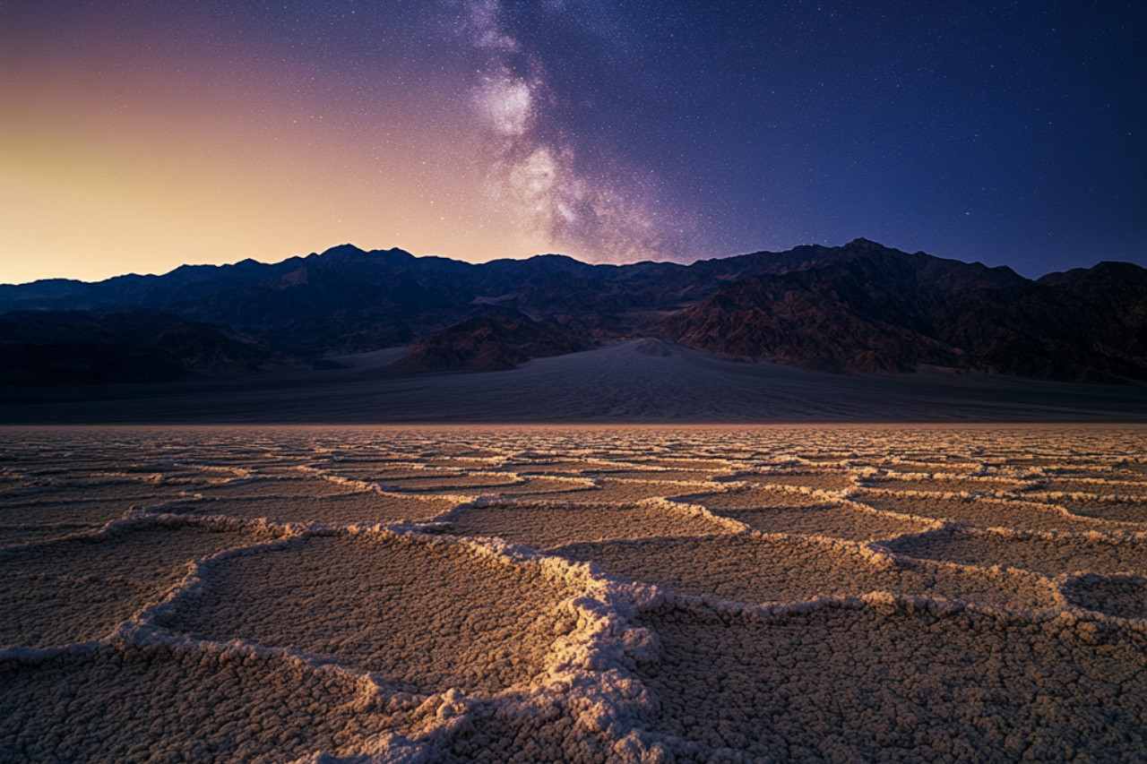
The lowest point in North America, and the highlight of a trip to Death Valley. There's a boardwalk by the parking lot, but you're welcome to wander into the valley on the Badwater Basin trail. Go as far as you'd like into the interior of Death Valley's famed salt flats, but it's about 1 mile in to reach the cool geometric shapes in the salt, making this a 2-mile round trip hike.
14
Stop 14
The trail to the natural bridge rock formation is flat, but rocky. It's about 1 mile round-trip from the parking lot to the bridge and back.
15
Stop 15
Artists Drive is a one-way road that ascends up toward the Black Mountains into a twisty canyon. The drive itself is fun, as you maneuver through a tight desert landscape. But the highlight is a stop along the road called Artists Palette, where minerals in the rock create a colorful cliff. You can explore on foot for a closer look.
16
Stop 16
This is one of the most popular hikes in the park, taking hikers through a lifeless canyon. It's about 3 miles, or 5 kilometers round-trip to the Red Cathedral cliff formation.
17
Stop 17
One of the most iconic views in the park, overlooking rock formations Red Cathedral and Manly Beacon. This spot is also noted for its film history and its role as the album cover for U2's Joshua Tree. The walk from the parking lot to the overlook is short and paved, but steep.
18
Stop 18
Like Mustard Canyon, this is a dirt road adventure into a tightly curving canyon. And there’s no specific stop, but it’s about a 15-minute detour from the main tour route. Before driving this road, check with the park for the road's current conditions. In normal circumstances, this dirt road is reasonably well-maintained but still bumpy, and not advisable for vehicles with low clearance.
19
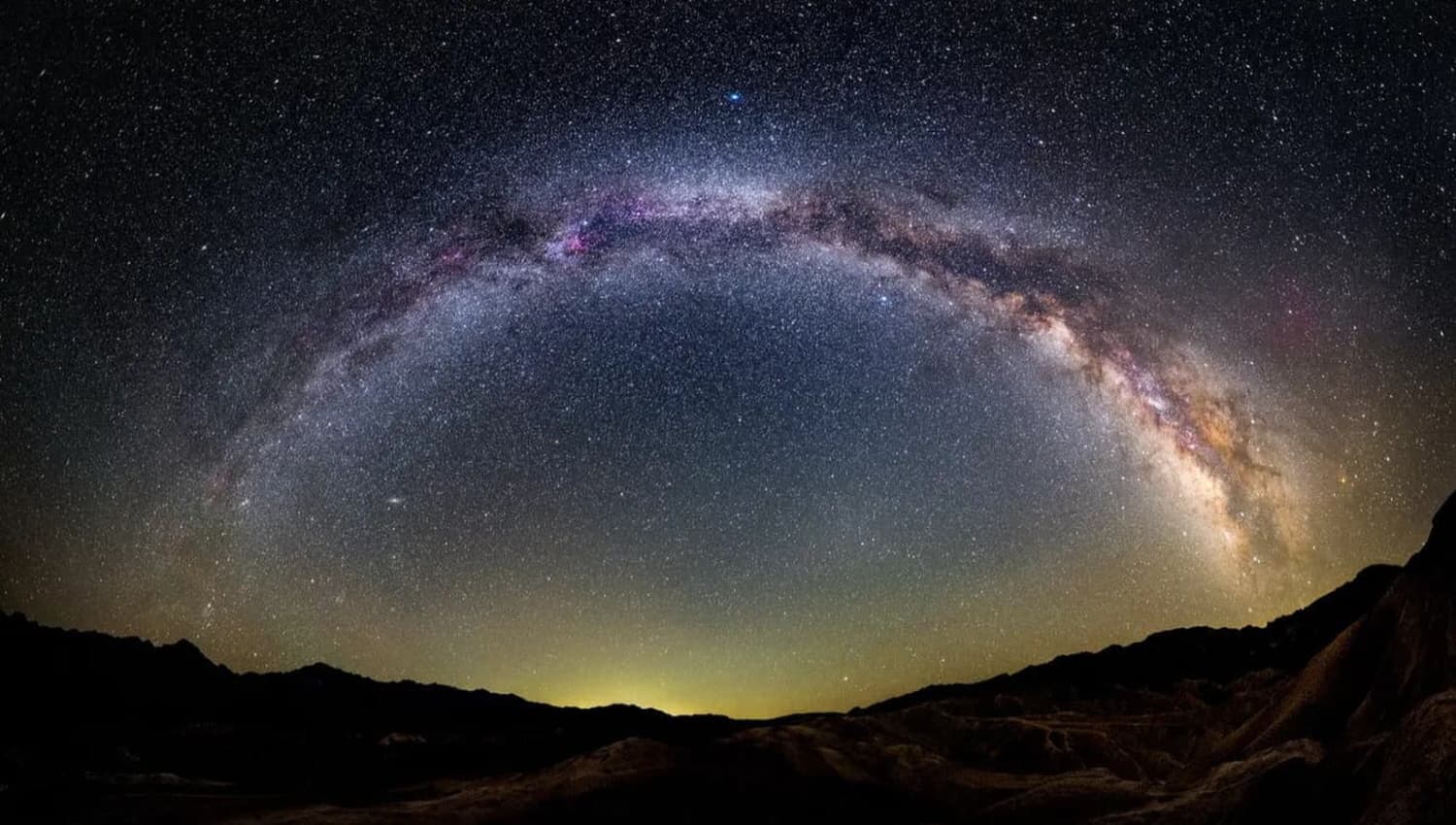
A truly stunning sight to behold. Ascend over 5,000 feet to this overlook directly above Badwater Basin. From here, you’ll see the lowest point in North America with the dramatic Panamint Range looming over it on the other side of the valley. And on clear days, you can see the Sierra Nevada beyond, including Mt. Whitney–the highest point in the lower 48 states. This is a popular sunset and stargazing spot.
What's not included
Your Own Private Transportation
Optional: Meals and refreshment
Optional: $30 per vehicle Entrance Fee
Optional: Parking Fees
Optional: Entrance Fees
Available languages
Audio guide
EN
Reviews breakdown
Viator
5.0
1 reviews
5★
1
4★
0
3★
0
2★
0
1★
0
Tripadvisor
5.0
3 reviews
5★
3
4★
0
3★
0
2★
0
1★
0
Important information
Wheelchair accessible
Service animals allowed
Suitable for all physical fitness levels
Optional Starting Point: • West Entrance of Death Valley National Park near Panamint Springs.
Get Started Easily: • Book Your Tour: Receive a confirmation and easy instructions via email. • Download the App: Follow the simple steps in your email. • Redeem the Tour: Use the redeem code in your email to redeem the tour in the app. • Prepare Ahead: Download the tour using strong Wi-Fi.
Begin Your Journey: • Select Your Tour: Go to the My Stuff tab in the Shaka Guide app to launch the tour. • Start the Tour: Select the tour starting point and follow the GPS instructions. • Follow Shaka Guide: Stick to the suggested route and speed for the best experience.
Why Choose Our Audio Tour: • Cost-Efficient: One tour for the entire vehicle—no per-person fees! • Ultimate Flexibility: Start, pause, and resume on your schedule. • Convenience: Use the tour any day, over multiple days if needed.
Top Features: • Hands-Free: The tour works automatically - GPS-activated stories, directions, and music play as you drive for a seamless experience. • Works Offline: No need for continuous wifi or data. • Reliable Support: Get help via call, chat, or email.
Private and Personalized: • Crowd-Free: Enjoy a private tour with just your group. • Customizable Stops: Pick the stops you want and skip the ones you don’t!
The Ultimate Guided Tour: • Detailed Itinerary: Includes travel tips and recommendations. • Engaging Narration: Captivating stories and history.
What Our Users Say: • “A fantastic way to explore! Easy to use and very informative.” • “Loved the flexibility to stop and go as we pleased. Highly recommend!”
Meeting point
Tour starts in East Entrance of Death Valley National Park.
Important notes
HOW TO REDEEM YOUR TOUR:
Thank you for purchasing the Death Valley Tour.
Before you start your adventure, you'll need to redeem and download the tour in the Shaka Guide app. Follow the instructions below:
*Please Note: The redeem code is the 10-digit booking reference number on your ticket (located under the barcode).
How to Redeem Your Tour(s):
1. Download the Shaka Guide app from the App Store or Google Play
2. Open the app and sign up or sign in
3. Tap Support
4. Tap Retrieve Purchases
5. Tap Redeem Purchase
6. Enter the 10-digit Booking Reference number (under the barcode on their Viator ticket)
7. Hit Redeem Purchase and download the tour(s)
Once you've redeemed your tour, you'll find it under "My Stuff" in the app.
For a smooth ride, download the tour with wifi before you go.
We can't wait for you to explore with Shaka Guide!
If you have any questions, don't hesitate to reach out to aloha@shakaguide.com or call (808) 201-8138
DOWNLOAD THE APP HERE: www.shakaguide.com/download
About Palm Springs
Palm Springs is a desert resort city in Southern California known for its hot springs, stylish hotels, golf courses, and spas. It's a popular destination for outdoor activities, mid-century modern architecture, and a vibrant LGBTQ+ community.
Top Attractions
Palm Springs Aerial Tramway
A scenic tram ride from the desert floor to the mountaintops, offering stunning views and access to hiking trails.
Nature/Adventure
2-3 hours
Moderate
Palm Springs Art Museum
A premier destination for modern and contemporary art, architecture, and design, housed in a striking mid-century modern building.
Museum/Art
1-2 hours
Moderate
Joshua Tree National Park
A unique desert landscape with iconic Joshua trees, rock formations, and stargazing opportunities.
Nature/Adventure
Full day
Free entry for some areas, moderate for others
Palm Springs Walk of Stars
A tribute to celebrities who have made significant contributions to the entertainment industry, with stars embedded in the sidewalks of downtown Palm Springs.
Historical/Cultural
30 minutes to 1 hour
Free
Must-Try Local Dishes
In-N-Out Burger
A California classic, known for its fresh, high-quality burgers and fries.
Fast Food
Vegetarian options available
Chef's Table at The Parker
A fine dining experience featuring seasonal, locally sourced ingredients and innovative dishes.
Dinner
Vegetarian and vegan options available
Palm Springs Caesar Salad
A local twist on the classic Caesar salad, often featuring fresh greens, avocado, and a unique dressing.
Lunch/Dinner
Vegetarian
Popular Activities
Hiking
Rock climbing
Mountain biking
Spa treatments
Golfing
Poolside lounging
Art museum visits
Architectural tours
Best Time to Visit
October to April
This is the most popular time to visit with pleasant temperatures and outdoor activities in full swing.
15°C to 30°C
60°F to 85°F
Practical Information
Language
- Official: English
- Widely spoken: Spanish
- English: Widely spoken
Currency
US Dollar (USD)
Time Zone
Pacific Time Zone (PT, UTC-8)
Electricity
120VV, 60HzHz
Safety Information
Overall Safety Rating: Generally safe
Palm Springs is generally safe, but standard precautions should be taken to ensure a secure visit.
Important Precautions:
- • Keep valuables secure
- • Be cautious in isolated areas at night
- • Use reputable tour operators
Getting there
By air
- Palm Springs International Airport • 3 miles from city center
By train
Palm Springs Station
By bus
Palm Springs Transit Center
Getting around
Public transport
Affordable and convenient for getting around, but schedules may be limited.
Taxis
Available • Apps: Uber, Lyft
Rentals
Car, Bike, Scooter
Neighborhoods
Downtown Palm Springs
The Historic District
South Palm Springs
Day trips
Joshua Tree National Park
35 miles • Full day
A unique desert landscape with iconic Joshua trees, rock formations, and stargazing opportunities.
Salton Sea
45 miles • Half day
A unique and somewhat eerie destination known for its shrinking lake and diverse birdlife.
Cathedral City
10 miles • Half day
A vibrant city known for its murals, festivals, and diverse dining options.
Festivals
Palm Springs International Film Festival • January
Palm Springs Pride • November
Palm Springs VillageFest • Thursday evenings year-round
Pro tips
- Visit the Palm Springs Aerial Tramway for stunning views and hiking opportunities
- Explore the mid-century modern architecture with a guided tour
- Enjoy the vibrant nightlife and LGBTQ+ friendly atmosphere
- Take advantage of the numerous golf courses and spas
- Visit nearby Joshua Tree National Park for a unique desert experience
From $25
per person
Price varies by option
Secure booking
Free cancellation available
Instant confirmation